

78.03km – 11H19’
Altitude : 62m
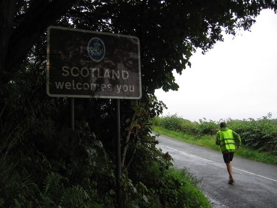
The United Kingdom consists of 4 countries: England, Scotland, Wales and Northern Ireland. Our itinerary will not take us into Wales but we will go through three of these countries. This evening as we enter Scotland it is pouring rain.
After fog and grayness, the rain is back. It is the first we have seen in a long time. Hang in there! Serge is in for a tiring day where the road is never flat, just a succession of steep hills….
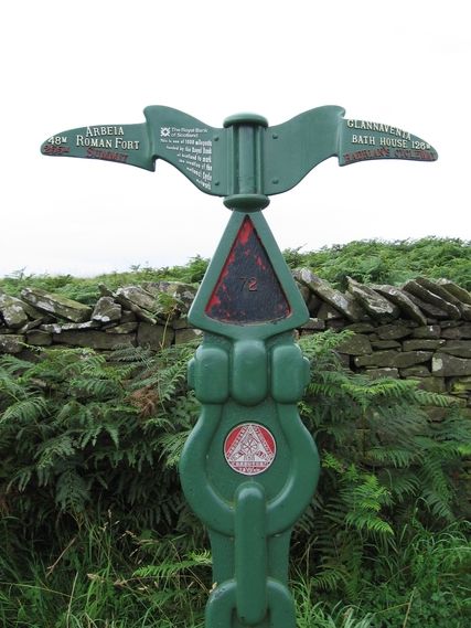
There is another change in this new country: miles replace kilometers and feet replace meters. So, when you go through a tunnel with a sign that shows height limit of 11’6”, it is better to do the conversion first or approach it slowly if you are in doubt (1 meter = 3 feet 28 inches). For speed limits, our great GPS gives us the speed limit in KPH, so we don’t have to learn the multiplication table for 1.609 km = 1 mile.
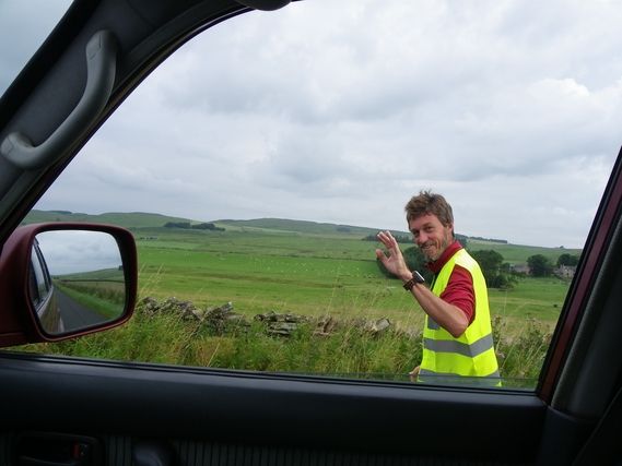
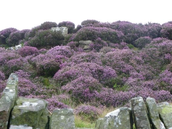
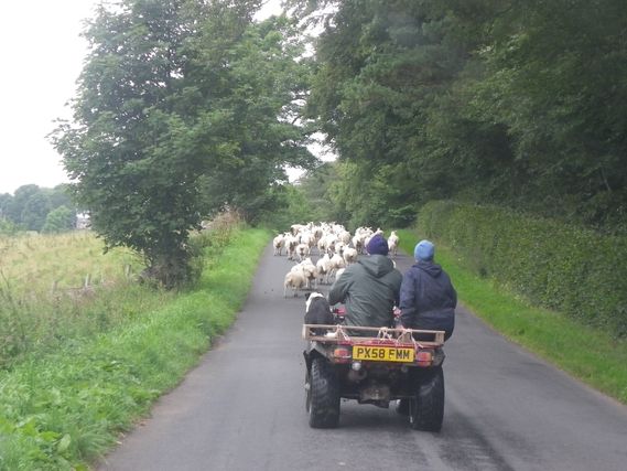
I am delighted not to have to drive my « tank » on these small, winding roads. The steering wheel is in constant motion to follow the undulations and oscillations of the road. The width of the secondary roads we take is often no more than that of a single vehicle. At home we would call them “tractor paths”. The hills are covered in pasture, often separated by small stone walls, inside which there are sheep and more sheep wherever you look. Sometimes they are even on the road to change pasture, with the help of a Quad (ATV) and border collie. The mist and rain make this place seem wild and harsh and all we would need to do is sit around the fire and have someone tell us a few Celtic legends to set the atmosphere.